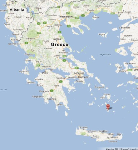
In the southern part of the Aegean
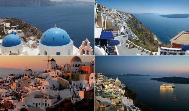
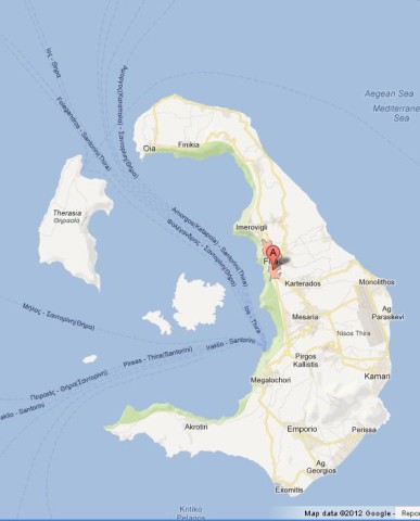
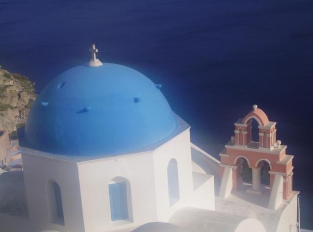
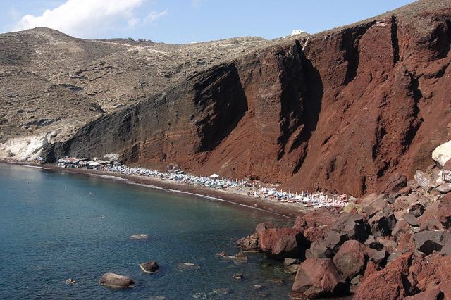
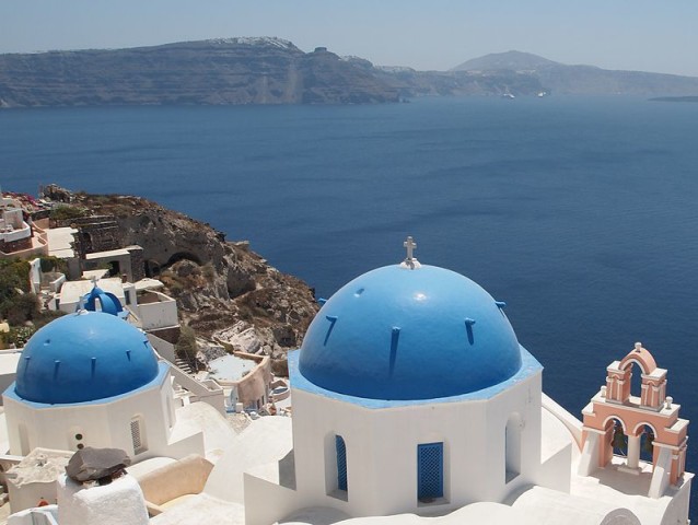
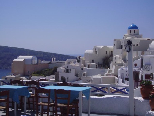
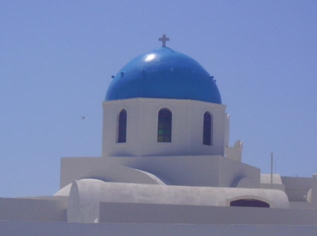
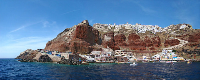
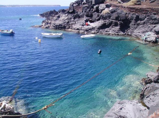
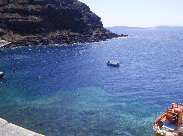
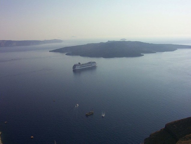
lies the island of Santorini (also known as Thira), 200 kms off the mainland Greece. It is a volcanic island that belongs to Cyclades Islands, has spectacular sunsets and breathtaking landscapes. In the year 1650 BC, one of the largest volcanic explosions that Earth has ever seen, gave rise to this island-shaped ring. Caldera, 300 meters above sea level, around the bay create stunning images with the blue sea and white houses. Thira (or Fira) is the capital of Santorini is at the top of a hill overlooking the Caldera volcano. Adjacent to this cluster there is another charming village called Firostefani. The famous white houses with blue domes are mostly located in the charming village of Oia (also known as Ia), some of the best sunsets in the world can be spotted there. It is one of the most popular spots of Santorini by tourists. Below the cliff of Oia there is a beautiful bay called Amoudi. Another of the most popular sites among visitors of Santorini’s Red Beach, a beach with red sand. Hotels in Santorini
What to visit in Santorini: Caldera; Red Beach; Amoudi Bay; Akrotiri;
Villages in Santorini: Fira; Karterados; Oia (Ia); Kamari; Firostefani; Imerovigli; Pyrgos; Perissa; Akrotiri; Megalochori; Mesaria; Monolithos; Vlichada; Vothonas; Thirasia (a small village on the nearby island of same name);
Restaurants in Santorini
- Asterias Santorini Restaurant
- Onar Restaurant
- Ambrosia Restaurant
- Dimitris Santorini
- Ammoudi Fish Tavern
- Elia Restaurant Fira Santorini
Transports in Santorini
Santorini (Thira) Airport (JTR) – There are flights to/from Athens and other important Greek airports. There are also flghts to/from several European cities especially during the Summer months.
By boat – There are daily ferries to/from Athens port of Piraeus. During the Summer months there are several connections to other islands like Mykonos, Crete and other islands of Cyclades. Time and tickets of ferries here.
Santorini Map
You must be logged in to post a comment.